A little over two hours from Seoul, Gongjaksan rises quietly to 887 m above the valleys of Hongcheon. Jointly selected by the Korea Forest Service and Black Yak as one of Korea's 100 Notable Mountains, it draws far less media attention than Seoraksan or Naejangsan — which means you can enjoy autumn here without the crowds. That relative anonymity is widely considered the mountain's greatest draw.
Why Mid-October
Fall foliage in Sutasa Valley (also called Gongjaksan Valley) reaches its peak in mid-October. The maple and oak trees lining both banks of the stream turn red and yellow at the same time, and their colours reflect directly off the broad flat bedrock and deep rock pools on the valley floor. The combination of dramatic rock formations acting as a frame and clear water acting as a mirror creates scenery that hiking communities consistently describe as a different dimension from simply looking down at autumn colour from a summit. Hikers note the pleasing scale of the mountain — its craggy rocks and pines are well-proportioned rather than overwhelming. Spring azaleas and winter snowscapes bring visitors year-round, but the autumn foliage period is by far the most popular.
What to See and How to Walk
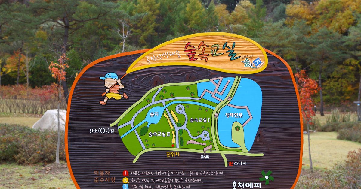
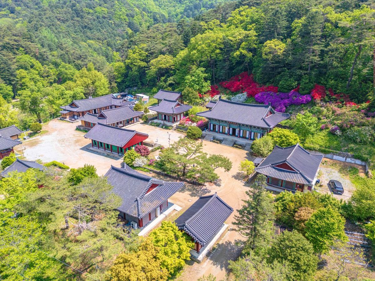
The Sanso-gil loop trail starting from Sutasa temple covers approximately 5 km and can be walked comfortably in one and a half to two hours. The circuit begins at Sutasa Rural Theme Park, then passes the Ecological Forest Education Centre car park, Sutasa temple, Gwingso pool, a suspension bridge, and Yongdam pool, following the stream the entire way so you experience the foliage and the sound of the water together. The full Sutasa Valley corridor stretching roughly 12 km from Sutasa to Nocheon-ri is a long scenic corridor of wide rock slabs and deep pools appearing one after another.
If you want to reach the summit, the out-and-back route from Gongjak-hyeon car park is approximately 5.4 km and takes around two hours and thirty minutes. From the top you can take in a panoramic view of Hongcheon County, with the Seoul–Yangyang Expressway visible as a thin line far below.
Getting There
By car from eastern Seoul, take the Seoul–Chuncheon Expressway to Chuncheon JC, then the Jungang Expressway to Hongcheon IC and follow Seolak-ro → Yeonbong intersection → Gongjaksan-ro → Dongmyeon Bridge → Sutasa-ro. The total distance is approximately 102 km and takes about one hour and twenty minutes.
By public transport, take a bus from Dong Seoul Bus Terminal to Hongcheon (services run every 10 to 30 minutes; journey time approximately one hour to one hour fifty minutes), then transfer at Hongcheon Terminal to Bus 51 for the roughly 40-minute ride to the stop near Sutasa. The Sutasa bus is reported to run four times a day, but timetables should be confirmed before your visit by calling Hongcheon Terminal (033-432-7893) or Yeonggwimi-myeon Community Office (033-430-4461).
Tips Before You Go
Peak foliage shifts slightly from year to year depending on temperatures. Mid-October is the peak period cited across multiple sources, but checking local conditions just before your visit will help you avoid a wasted trip. The car park and Sanso-gil trail are free to enter and open 24 hours year-round. The busiest window on weekends is between 10 a.m. and 1 p.m., so an early-morning start is advisable. Fallen leaves make the valley rocks slippery, so wear hiking boots or shoes with good grip.